


|
Just get back from a great trip and want to tell others about it? Looking for recommendations of great places to go in your state or surrounding area? Post your favorite multi-day trips here! Bonus points if you were able to snag a picture! OP will be updated with a state by state location list of favorite destinations. If you�re looking to find out more info, All Trails is a great resource to find hikes and mileages within your comfort zone. Verman put together a great writeup on how to find new places to visit, please find it pasted below.  Backpacking: Backpacking:Arizona:
Colorado: Kentucky:
Ohio:
Pennsylvania:
Tennessee:
Utah: Virginia:
West Virginia:
Car CampingOhio:
Kayak Camping Florida:
Minnesota:
Michigan:
North Carolina:
: Updated July 2020 Catatron Prime fucked around with this message at 23:04 on Jul 23, 2020 |
 #
?
Apr 24, 2017 20:42
#
?
Apr 24, 2017 20:42
|
|


|

|
| # ? May 13, 2024 09:22 |
|
|
Verman posted:Honestly out here in Washington, I usually go up to the mountains probably weekly. Sometimes my buddies and I just go to explore forest roads in a given area to get a feel for it and find cool places for the future. Catatron Prime fucked around with this message at 18:46 on Jul 23, 2020 |
|
#
?
Apr 24, 2017 21:10
|
|
|
Girlfriend and I just got back from Hocking Hills State Park here in southern Ohio. We camped in the primitive campgrounds for 3 nights and had a great time. The main park we did a 13 mile loop from the campground through Old Man Cave with the turnaround being Ash Cave. On Friday we drove to a few different points of interest that are little 1/2 mile to a 2 mile trail such as Rock House, Cantwell Cliffs, and Conkles Hollow. I can't offer any overnighters as my girlfriend and I are just now saving up to get gear to transition from car camping/day hikers to backpackers. We did do Red River Gorge which you already mentioned and can definitely recommend that as well. Really enjoyed Auxier Ridge trail when we were there. We are heading to Pisgah National Forest around Ashville, NC the first week of June so I'll report back after that trip. edit: Will look here in a little bit if I have any pictures from hocking hills.
|
|
#
?
Apr 24, 2017 21:43
|
|

|
Great idea for a thread! One of my favorite spots since moving to Sacramento is the Auburn SRA in the Sierra foothills. I haven't (yet) found any backpacking but there are tons of excellent trails between the North and Middle forks of the American river, lots of steep riparian valleys and ridgetop meadows. There's also the Foresthill Bridge, which is the highest in California and the fourth-highest in the nation, plus Vin Diesel drove a car off it in XXX. Nearby to Auburn is the Hidden Falls park in Placer county. I've only been once but it's a fantastic multi-use trail system with an easy-access main road to the falls and then miles and miles of extra single track. Not a huge park but worth more than one visit I'd say.
|
|
#
?
Apr 25, 2017 03:46
|
|


|
GSMNP - East Tennessee/Western North Carolina - I live in Knoxville, and I've only hiked 150 miles of the GSMNP at this point, but these are my favorites so far. Mount LeConte via Alum Cave Trail - There are 5 trails to Mount LeConte, but the most popular (steepest and shortest) is Alum Cave. It is 5.5 miles to the summit and you gain a little over 2600 feet. The best thing about Alum Cave trail is how each mile is different. You hike along a stream, go through Arc Rock to Inspiration Point to Alum Cave then along rock ledges. Once on top you can visit the LeConte Lodge for lunch (it is only accessible by hikers and to stay a night you must reserved a year in advance). Also several different views overlooking the Smokies like the Cliff Tops and Myrtle Point. http://www.hikinginthesmokys.com/lecontealum.htm Pro-Tip: If you have 2 cars go up the Boulevard trail to LeConte, but come down Alum Cave trail. Other favorites: Mt Cammerer Firetower (on a clear day best views in the GSMNP) - http://www.hikinginthesmokys.com/cammerer.htm Ramsey Cascades (best waterfall in the GSMNP) - http://www.hikinginthesmokys.com/ramsay.htm Charlies Bunion (a fun 8 miler for both new and experienced hikers) - http://www.hikinginthesmokys.com/charliesbunion.htm Hemphill Bald (on the NC side of the GSMNP, and it is very different than most hikes in the GSMNP) - http://www.smokiesguide.com/hemphill-bald-trail/  My kids coming down Alum Cave trail  View from the Cliff Tops on Mount LeConte  View from Cammerer Firetower  Ramsey Cascades (also the only time we ever ran into a bear in the GSMNP)  View from Hemphill Bald
|
|
#
?
Apr 25, 2017 13:40
|
|

|
Tennessee (Middle): A favorite of mine is Savage Gulf Natural Area, part of the noncontiguous South Cumberland State Park, located about 1.5 hours southeast of Nashville. The Gulf is located on the western rim of the Cumberland Plateau and encompasses three converging gorges featuring sandstone cliffs, limestone sinks, and old-growth forest. Popular waterfalls and swimming holes are scattered throughout, as are locations of historical interest. Over 50 miles of interconnected trails and backcountry campgrounds offer a variety of options from casual plateau strolls to strenuous boulder-hopping. Rock climbing is available at the easily accessible Stone Door formation and overlook. Another nearby section of the state park is the well-known Fiery Gizzard trail, which begins in beautiful Grundy forest and has its southern terminus at the swimming and climbing destination Foster Falls. Savage Gulf Trail Map   
|
|
#
?
May 17, 2017 20:10
|
|

|
West Virginia I just got back from the Dolly Sods area but we actually backpacked the Roaring Plains Wilderness. Similar to Dolly Sods but the terrain is much more treacherous and you have to hike the elevation change instead of driving up it.  Roaring Plains Pano by jarredsutherland, on Flickr Roaring Plains Pano by jarredsutherland, on Flickr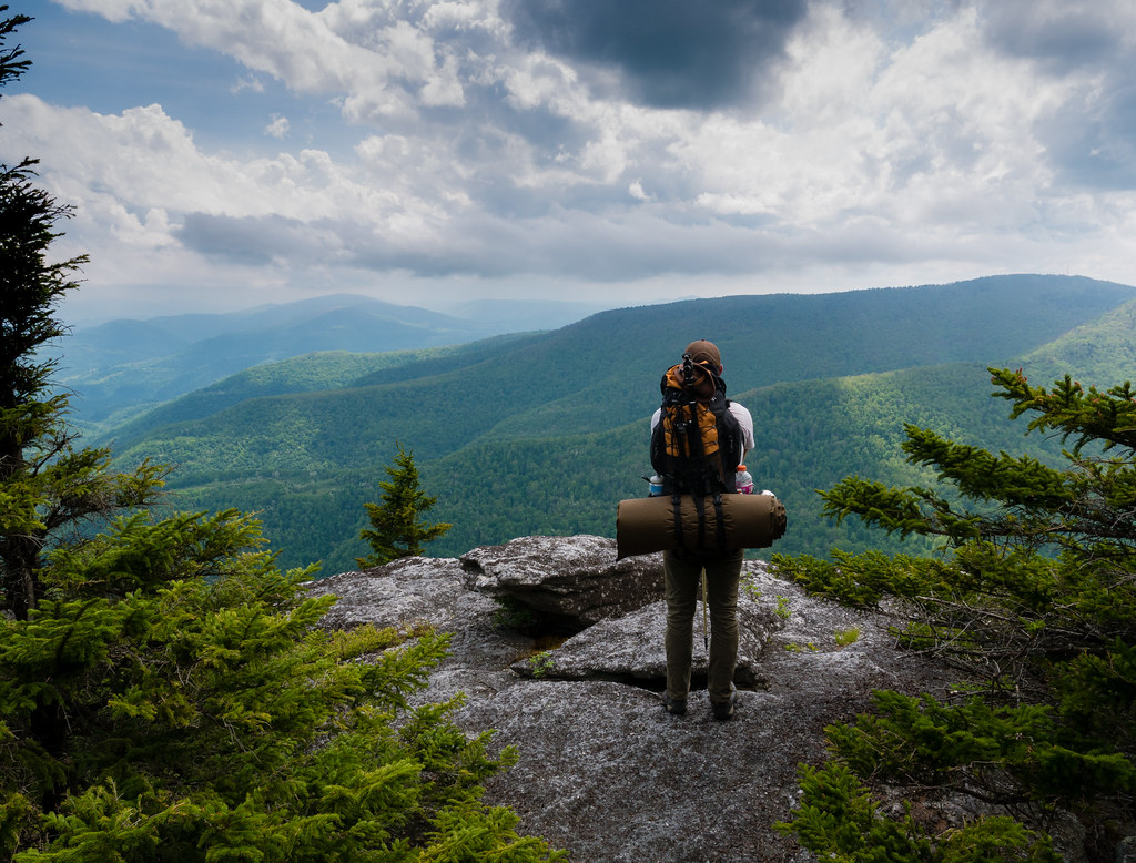 Roaring Plains Loop Trail Vista by jarredsutherland, on Flickr Roaring Plains Loop Trail Vista by jarredsutherland, on Flickr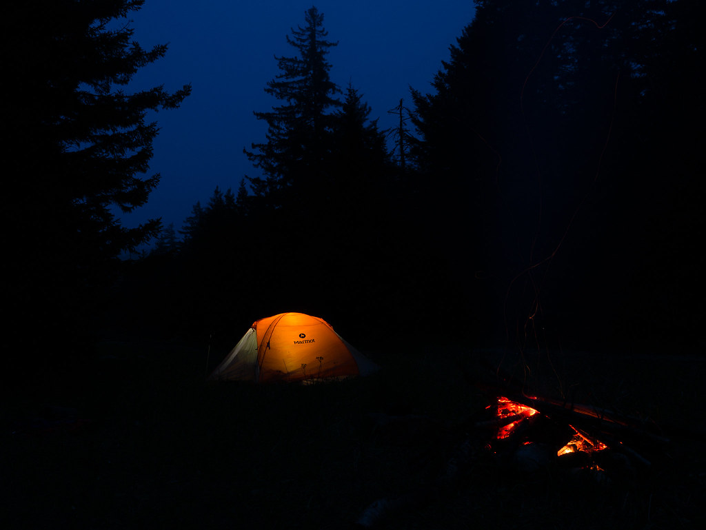 Roaring Plains Pipeline by jarredsutherland, on Flickr Roaring Plains Pipeline by jarredsutherland, on Flickr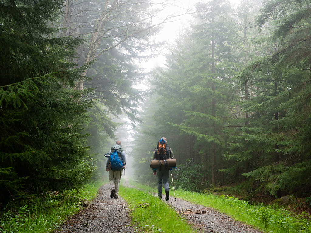 Roaring Plains Last Leg by jarredsutherland, on Flickr Roaring Plains Last Leg by jarredsutherland, on Flickr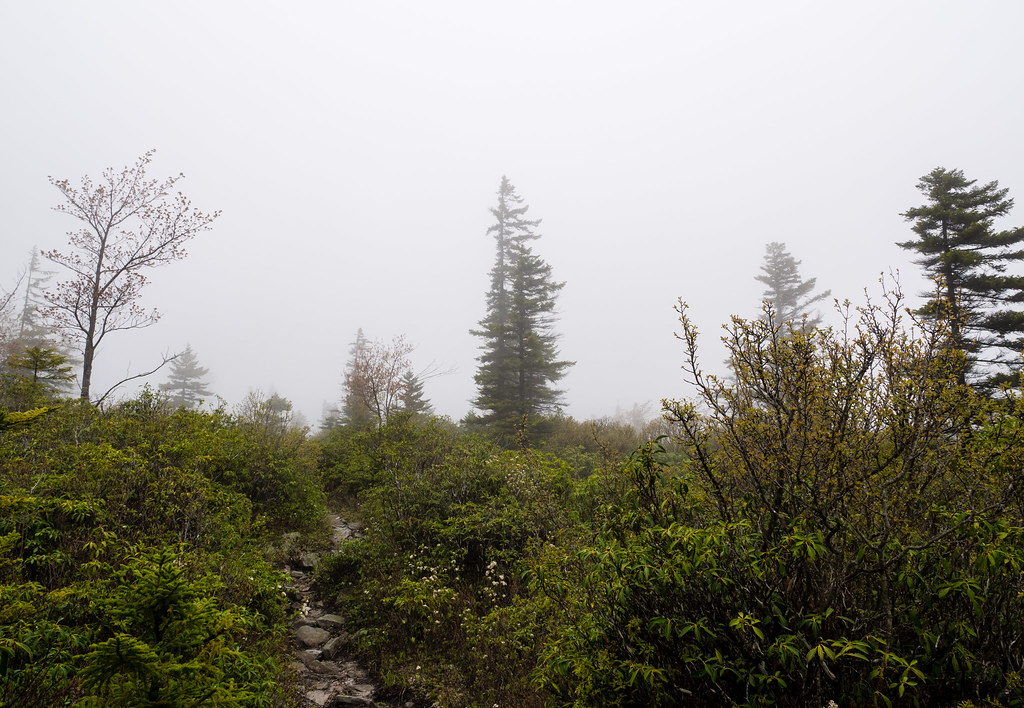 Roaring Plains Clouds by jarredsutherland, on Flickr Roaring Plains Clouds by jarredsutherland, on Flickr
|
|
#
?
May 23, 2017 13:11
|
|
|
That looks grand. We did a mountain bike trip in west virginia, and were surprised when the locals told us it was fine to ride even though it had just been raining. Then we saw why, cuz the trails looked like your last photo. Still a sweet zone, but different than the flowy dirt that's gotten big lately.
|
|
#
?
May 23, 2017 17:33
|
|

|
I live in Akron, OH and just after my 37th birthday in May I decided to stop being a lumpen sedentary pig and get walking/hiking. Nothing serious yet but I'm trying to work my up to real hiking. I've been discovering the Cuyahoga Valley National Park, finding all of the loop trails I can. Today I did the Wetmore trail - my favorite yet - a four mile loop. Super fun: https://www.conservancyforcvnp.org/experience-your-park/outdoor-adventures/wetmore-and-tabletop-trails Also great fun is the Pine Lane/Buckeye Trail loop in Peninsula: https://www.nps.gov/cuva/planyourvisit/upload/Valley_South_2016.pdf I've lost nearly 10 pounds since I started walking/hiking. There are SO MANY cool places to do so around here, and I'm always looking for more, so you Ohio goons feel free to offer suggestions for someone inexperienced but eager to do more! Also, I'm going to south Nashville on the week of the 20th to watch the eclipse in Smyrna and would love some suggestions for places to go walking and hiking. I actually lived there for 4 years but was a total goon and did not explore anywhere outdoors, so I don't know any good places. Savage Gulf sounds awesome but I will technically be working that week and a 3 hour round trip drive time + hiking seems like a stretch. I'll be staying near Brentwood so TN goons please tell my your favorite places nearby!
|
|
#
?
Aug 13, 2017 18:31
|
|

|
So I actually roped my boss from my corporate office in Nashville into going to Savage Gulf and hiking it with me. The route we chose ended up being about 5.5 miles longer than we anticipated and it was a BALLBUSTER. 15.4 miles in total, which was considerably more than either of us had done in one go before, and the elevation changes near the end were brutal. Still, fun hike.
|
|
#
?
Aug 27, 2017 00:00
|
|
|
Nice! I've taken to a bit of hiking this year to get my 46-year old fat NE Ohio self out more. A pair of trekking poles helped overcome a knee that tends to hurt otherwise. I'm not as familiar with the park system near Akron, living up near the lake, but I do enjoy the hikes available via the Lake Metroparks, Geagua Park District and Cleveland Metropark systems around here. I have enjoyed using the Cuyahoga Scenic Valley Railroad Bike Aboard program to take me 30 miles sound to Akron and then ride back on my bike. I'm looking to try snowshoeing and cross country skiing this winter as well.
|
|
#
?
Aug 27, 2017 02:41
|
|

|
I like the Lake District National Park, in Cumbria, and Snowdonia in Gwynedd.
|
|
#
?
Sep 2, 2017 14:56
|
|


|
Quebec Run wilderness area in SW PA is a hidden gem, it looks very small on a map but you can do a decent weekend backpacking trip in there and it's heckin beautiful. Annoyingly few places in PA allow dispersed camping, but this place does.
|
|
#
?
Sep 29, 2017 15:07
|
|


|
Lordshmee posted:I live in Akron, OH and just after my 37th birthday in May I decided to stop being a lumpen sedentary pig and get walking/hiking. Nothing serious yet but I'm trying to work my up to real hiking. I've been discovering the Cuyahoga Valley National Park, finding all of the loop trails I can. Today I did the Wetmore trail - my favorite yet - a four mile loop. Super fun: Hey Akron buddy. CVNP is just down the road from me and hardly a week goes by that I don't hike at least one of its trails, most often Hampton Hills. It's really gorgeous and offers a variety of elevations that keeps it challenging and invigorating. O'Neil Woods is cool too, especially since it connects to the Towpath Trail for days when I really feel like tiring myself out. I haven't gotten out to Wetmore yet, I'll have to give that a try soon.
|
|
#
?
Oct 13, 2017 21:51
|
|

|
I'm obsessed with the San Gabriel Mountains in SoCal. Lots of good hiking and camping. The Silver Mocassin Trail runs through the center from south to north and sees little traffic. The first two days are brutal, though (Chantry Flat --> West Fork Trail Camp... West Fork Trail Camp --> Chilao Campgrounds). Lots of elevation gain and loss. The last ~30 miles also runs concurrently with the PCT, so during certain times of the year you get a lot of thru-hikers. Here's my map on caltopo! khysanth fucked around with this message at 19:02 on Oct 17, 2017 |
|
#
?
Oct 17, 2017 18:58
|
|


|
Anyone have any cool kayak camping spots or trips they�d be willing to share? A few years ago I did the Roanoke River trail and it was about one of the coolest things I�ve ever done. I�d love to do something like that again but it�s hard to find multiday water trails with established camping like that.
|
|
#
?
Jul 23, 2020 18:33
|
|
|
OSU_Matthew posted:Anyone have any cool kayak camping spots or trips they�d be willing to share? A few years ago I did the Roanoke River trail and it was about one of the coolest things I�ve ever done. I�d love to do something like that again but it�s hard to find multiday water trails with established camping like that. Go do Pictured Rocks via Kayak in the UP of Michigan. It is more open water on Lake Superior but super bad rear end. Islands, views, waves, etc. Michigan generally has a lot of rivers to float in a Kayak as well that you can camp along. The other very obvious answer is to go to Minnesota and do the boundary waters. Most people canoe it but kayaking would be fun too. Again flat water and paddling vs floating a river.
|
|
#
?
Jul 23, 2020 18:40
|
|


|
Anybody have any suggestions for different sites for researching locations/adventures? I'm partial to https://www.outdoorproject.com/ and using both Gaia GPS & All Trails to find other poo poo to do.
|
|
#
?
Jul 23, 2020 20:00
|
|


|
Do you mean like, diving into the details once you have a particular location or region in mind? You can try requesting and checking out outdoor guidebooks about that area from your local library *thumbs up and smile @ camera* I've had lots of success with that. Also honestly asking here on the something awful dot com internet comedy forums has yielded a lot of really good advice on specific locations for me.
|
|
#
?
Jul 23, 2020 20:08
|
|
|
spwrozek posted:Go do Pictured Rocks via Kayak in the UP of Michigan. It is more open water on Lake Superior but super bad rear end. Islands, views, waves, etc. Michigan generally has a lot of rivers to float in a Kayak as well that you can camp along. Oohh... Pictured Rocks was at the top of my list for this year, until covid hit and killed plans for a group trip. I�ll add both of those to my list, much appreciated! Boundary waters sounds incredible, I�ve been wanting to visit Minnesota for awhile now and that�s the perfect excuse!
|
|
#
?
Jul 23, 2020 22:58
|
|
|
Memorable Hikes in WA: Lake Colchuck - The upper enchantments are also great, but you have to win the lottery to camp (and it's a slog as a day hike). Camp Muir - Get most of the scenery of summiting Mt. Rainier without the slog up Deception Cleaver. Awesome glacier views. Fun glissading depending on the time of year or how little you value your life. The North Cascades are pretty underappreciated. But I'm not quite sure what I would recommend there. Lots of great peaks. I've mostly gone for climbing (Early Winters Spires/Liberty Bell are classics and are surrounded by other classics). The national park in the area is one of the least visited in the US if you are looking for hipster cred. Washington has a ton of mountainous lakes. I have fond memories of backpacking with friends to generic lakes. Get far enough out and no one cares that you are there. The dispersed camping is also great. And particularly great as an alternative for busy weekends. The quote up above about just driving to random places and camping is pretty accurate.
|
|
#
?
Jul 24, 2020 06:45
|
|
|
highme posted:Anybody have any suggestions for different sites for researching locations/adventures? I'm partial to https://www.outdoorproject.com/ and using both Gaia GPS & All Trails to find other poo poo to do. Washington state has WTA (Washington trail association) which has their own database of hikes, hiker reports, location maps, etc. It's a great resource but it's specific to Washington. Their app is handy too. Some other states might have a similar utility but I do realize Washington is a state abundant with hikers and trails so there's a huge community to make that happen which other states might not have. Facebook groups usually have hiking and backpacking groups so you can connect to locals. All trails is pretty useful too. You can always contact a specific park/area and see if they have paper or PDF trail maps.
|
|
#
?
Jul 24, 2020 18:14
|
|
|

|
| # ? May 13, 2024 09:22 |
|
|
That WTA app sounds perfect. For Oregon there is https://www.oregonhikers.org/ their data is pretty extensive and they have great filters for searching for hikes. I'm not a giant fan of their map (I'm not a giant fan of most web maps that use that specific Google Maps UI) but that's professional bias, and although their interface functions, it's ancient and hurts to use. When looking for a spot in an area I haven't been to, I'll usually do some cursory investigation on Recreation.gov or the USFS/BLM sites to see what's available etc. There are a few sites like Outdoor Project (TheDyrt is another I trust) but it seems for Oregon they have the most comprehensive info. They have well compiled field notes & maps in PDF forms to download as well.
|
|
#
?
Jul 24, 2020 20:06
|
|